


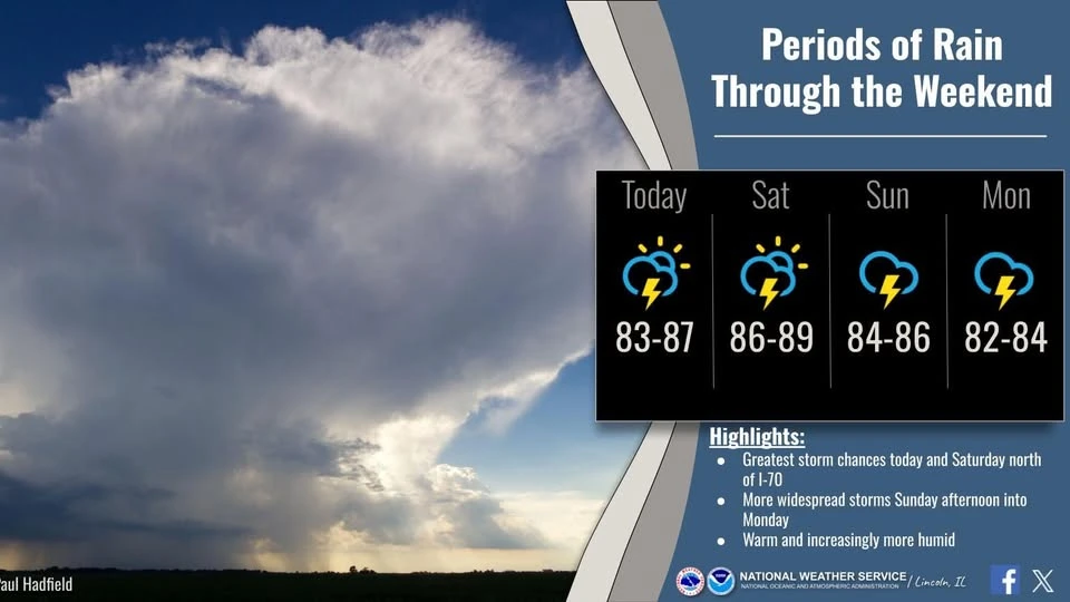
DeWitt County is in line to receive a stretching period of much-needed soaking rain heading into the weekend.
On the WHOW Morning Show Friday, Ed Shimon with the National Weather Service in Lincoln told the Hart Media Group that a localized weather pattern will move into central Illinois today (Friday). The initial wave of precipitation is approaching from the west near the Illinois River and is expected to bring light rain to DeWitt County by mid-to-late morning.
The primary wave of storm activity is projected to hit after midnight tonight, carrying a marginal-to-slight risk of severe weather. Shimon notes the primary threat associated with tonight's incoming line of storms is high wind. The forecasted wind gusts have the potential to knock down tree limbs and trigger localized power outages overnight.
We'll have more with Shimon next week as he addresses the season's first real heat wave, and later in the week, we'll have more about the potential for some developing flash drought in Illinois.
Visit weather.gov/lincoln for more on all things weather data and forecasts.